
Technology is changing the way we live, work and connect to one another, with profound effects on society, the economy and the environment. While technology has caused and continues to cause many problems globally, it can also play a crucial role in solving some of the world’s most pressing challenges, including climate change, food security and environmental degradation. From the development of phone apps to artificial intelligence, technology is a powerful tool to engage and empower individuals, communities, businesses and governments to create change.
In a recent SHiFT Community Hub event, Kathryn Youngblood and eXXpedition Ambassador Marena Brinkhurst shared their experiences. Last week Kathryn shared how you could use the Marine Debris Tracker app to drive change. This week, we learn more from Marena Brinkhurst, Program Manager on the Community team at Mapbox, which supports social impact partners to use Mapbox tools.
Meet Marena Brinkhurst
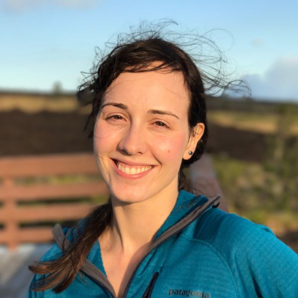
eXXpedition ambassador Marena Brinkhurst is a Program Manager on the Community team at Mapbox, which supports social impact partners to use Mapbox tools. She manages non-profit partnerships, curates volunteering opportunities and coordinates donation-matching. Her work focuses on how location technologies can support community organising, data visualisation, storytelling, and engagement. Marena grew up in Nova Scotia and studied environmental sciences and land management. She joined Mapbox to further her exploration of geospatial tools and to support more organisations to use maps for positive impact, including marine protection and addressing ocean plastic pollution.
Mapbox
Mapbox provides precise location data and powerful developer tools to change the way we navigate the world. Since 2010, it has rapidly expanded the niche of custom maps, as a response to the limited choice offered by map providers such as Google Maps.
The eXXpedition Round the World Map
In collaboration with ZeroSixZero and Mapbox, Marena was involved in building the eXXpedition Round The World (RTW) tracking map which followed S.V. TravelEdge, the vessel that was the home, transport and lab for our crew of women sailing around the world to carry out solutions-based research on plastic pollution. The eXXpedition RTW map is a great example of using technology to communicate our RTW mission in an engaging and effective way.
First and foremost, Marena wanted to show the route the boat was travelling and its live location, but beyond that she also recognised that the map was an important educational tool. The map can help to explain ocean processes, why the route was designed the way it was and how it relates to ocean plastic pollution in different parts of the world. For example, filter number three – the pink dots – shows where plastic fragments are expected to concentrate based on different patterns of ocean circulation, also known as gyres. When you visualise the map in this way, the viewer can see that the eXXpedition route was designed to pass through as many of the different gyres as possible.

Another exciting feature of the map is filter number four – manta trawl samples. Once data collection started on the different legs of eXXpedition RTW, the team back on land began recording the data in an online spreadsheet. The spreadsheet is connected to the map and automatically updates to show the data being collected along the voyage route, giving the viewer the opportunity to see the results of data collection in real time. Find out more about our science programme here.

What are the challenges and opportunities with this type of mapping?
Designing maps for the ocean is a particularly interesting challenge. A lot of digital mapping tools including Mapbox tools are designed for creating land-based maps so when building a map entirely focused on the ocean, Marena and the team were presented with some interesting design challenges. Marena incorporated additional data such as ocean depth into the design to add more visual interest to the ocean. She also toned down details on the land and removed visually distracting elements in order to keep the attention on the ocean.
The mapping tools that we have available today are very powerful and give the designer a good level of customisation and control to shape the narrative they want to convey. Digital interactive maps can display data at different scales meaning we’re no longer confined to the static design requirements that we might have had to work with in the past. Users are now able to zoom in and out, click on different things and change the visualisation to keep them engaged in an intuitive way.
Shifting perceptions
Digital maps go beyond just explaining data. They help us to identify solutions to problems, aid in spreading important messages through storytelling and change the way we feel, think and act at sea and back on land. During Leg 4 of eXXpedition RTW Antigua to Aruba, Marena and the crew used the eXXpedition tracking map at events in the Caribbean to help explain the science of ocean plastic pollution and communicate why we were travelling where we were. The public showed a real interest in the tracking map and it proved to be a great conversation starter which led to interesting and important discussions around the plastic pollution crisis in our ocean.

What’s next?
We are excited to begin working with Marena to use maps to create community. Together, we will be building an interactive digital map to help connect our global network of eXXpedition ambassadors and showcase the impact they’ve made on land since their voyages. Stay tuned to find out more!
More about SHiFT Hub Events
eXXpedition runs regular events for our community and beyond. Keep an eye on our social channels for updates on upcoming public events, and browse our blog to find out the highlights of our community events and keep up with eXXpedition news.
Thank you to 11th Hour Racing who are supporting this work.
